Method and limits
County access guidance checked on October 4, 2026. Live trail conditions, weather and closures were not established by this review.
Desk research: no visit, purchase or hands-on test is represented as completed.
Key points
- Choose the official access point that matches your activity
- Check management notices and seasonal conditions before leaving
- Carry water, sun and insect protection, and an offline map
Choose the activity before choosing the parking point
The county’s forest page separates hiking, cycling and other activities. For hiking, it identifies Bourget P4 and Limoges P7; it says hiking is not allowed from P1. Follow the official activity map instead of relying on a generic forest pin.
Sources:en.prescott-russell.on.ca
Check access requirements and conditions
The official page states that hiking does not need a membership, while mountain-bike and fat-bike trails require OMBA membership. A general access rule does not confirm that a particular trail is open today. Check current notices, the relevant map and posted signs.
Sources:en.prescott-russell.on.ca
Make a plan that suits your group
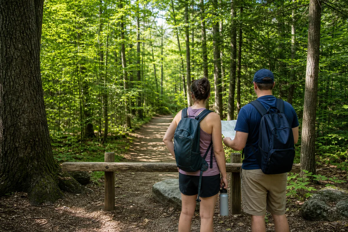
Choose the distance and daylight window before leaving. Bring water, appropriate clothing and a usable map, and decide where the group will meet if separated. Keep purchases and other stops secondary to the route you have chosen.
Before you go or call
- Review the official forest page
- Check weather and trail conditions
- Leave no waste and follow posted rules